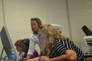
Teachers from Chesapeake, Norfolk, Virginia Beach, and Newport News attended a three-day institute exploring the capabilities of ArcGIS Online. The workshops were made possibly by a greatn from ESRI.
Day 1: Introduction to ArcGIS Online
Experience the power of a GeoInquiry to engage students and maximize learning. Learn how to customize symbols on an online map.
- Geoinquiry #1, Biomes
(Grade 4, Geoinquiry 1)
- Geoinquiry #2, Sacred Sites
(Human Geography) - Geoinquiry #3, Topographic Maps
(Earth Science) - AGO Skill Builder
- Procedures_Crib_Sheet
- Day 1 Change_Style Handout
- Day 1 PowerPoint Presentation
Day 2: Investigating Analysis Tools and Apps
- Adding data from tables.
- Using analysis tools to draw profiles, create Web Scenes and more.
- The layer is connected to the map, the map is connected to the app, as we harness the power of a GIS.
Day 3: Telling Powerful Stories with Maps
- Explore how can maps be used to tell powerful stories.
- The layer is connected to the map, the map is connected to the app, as we harness the power of a GIS.