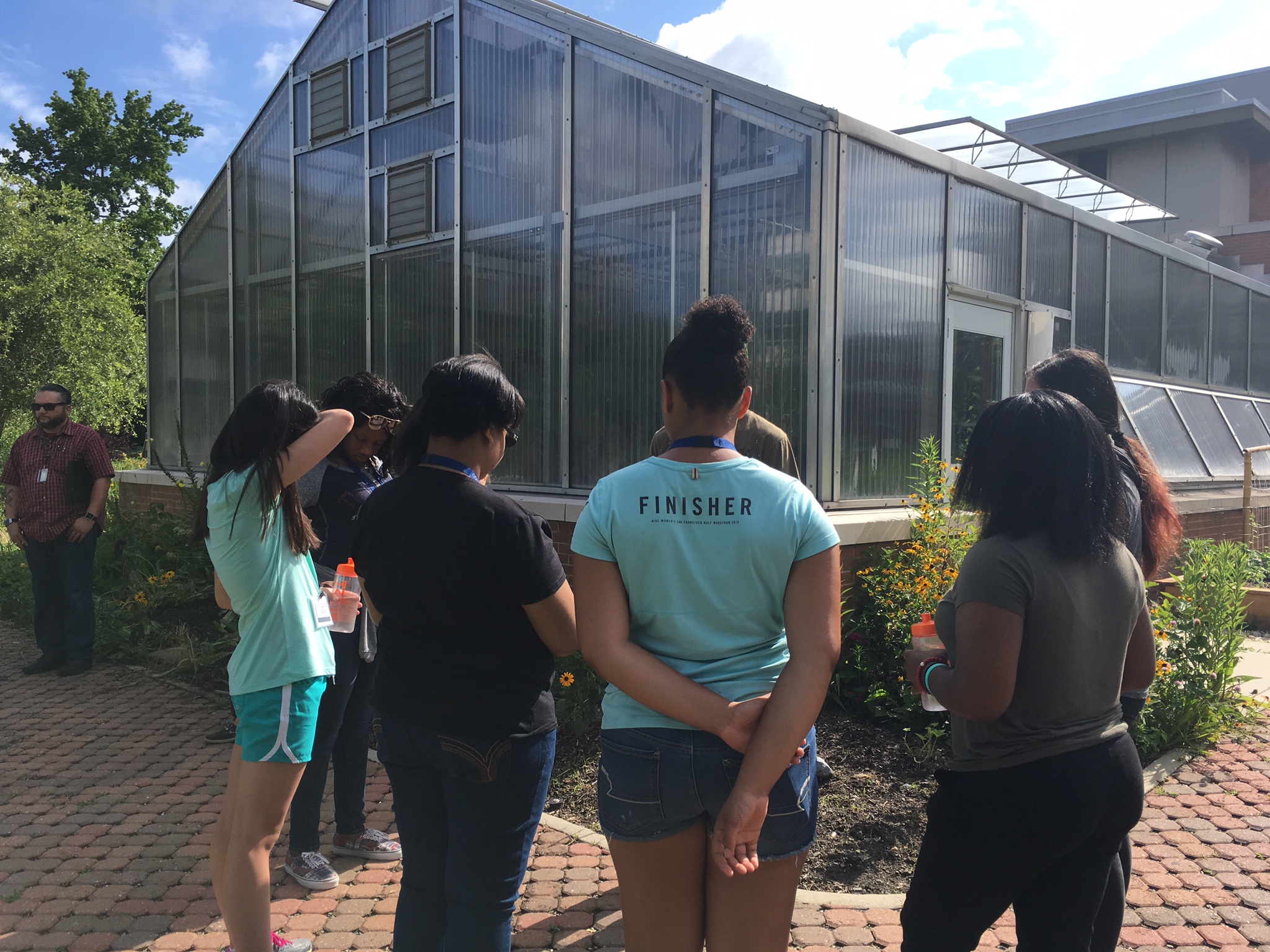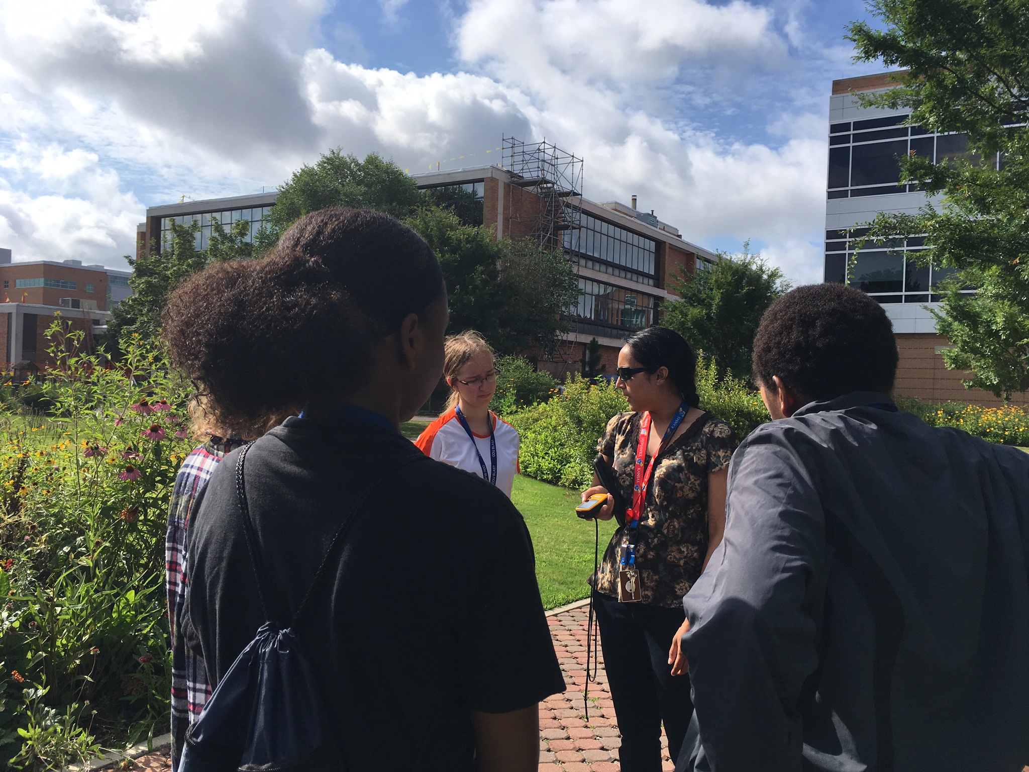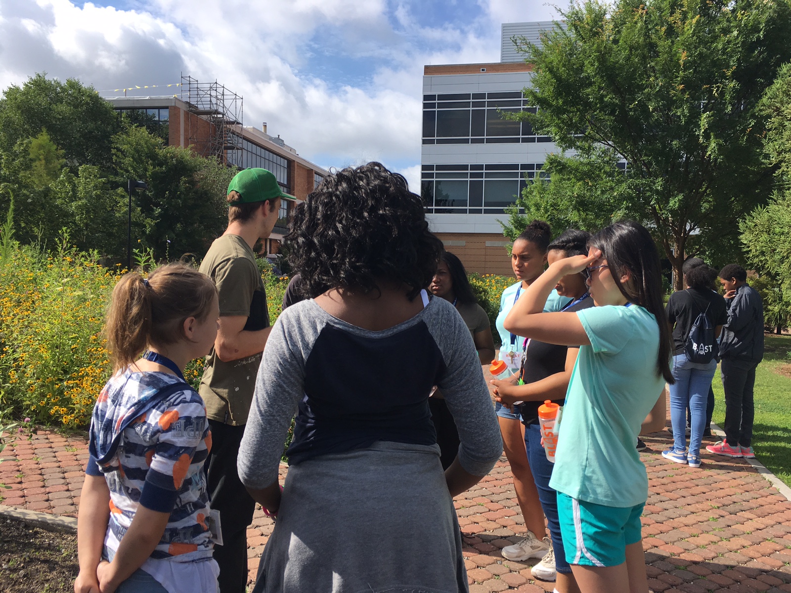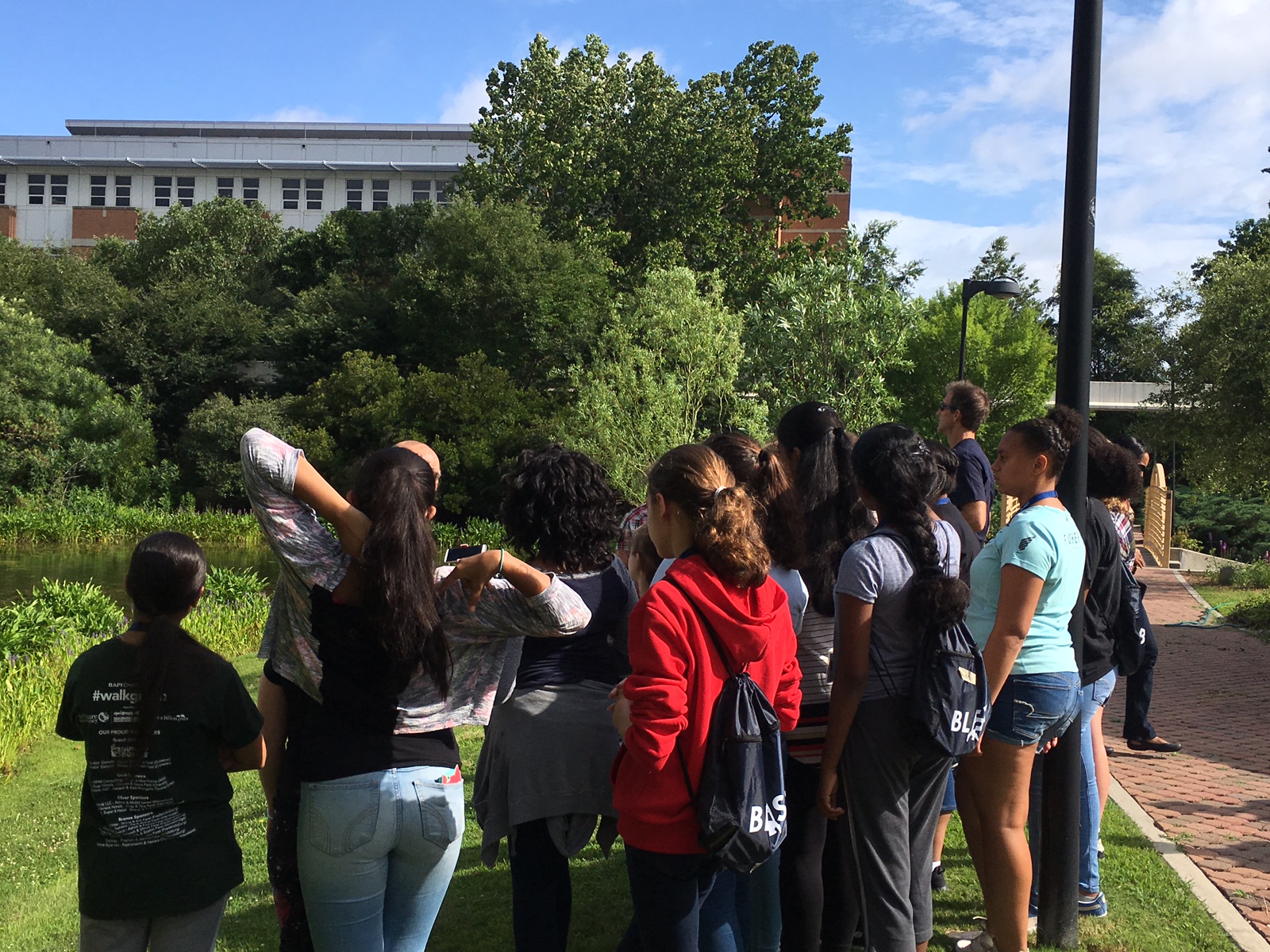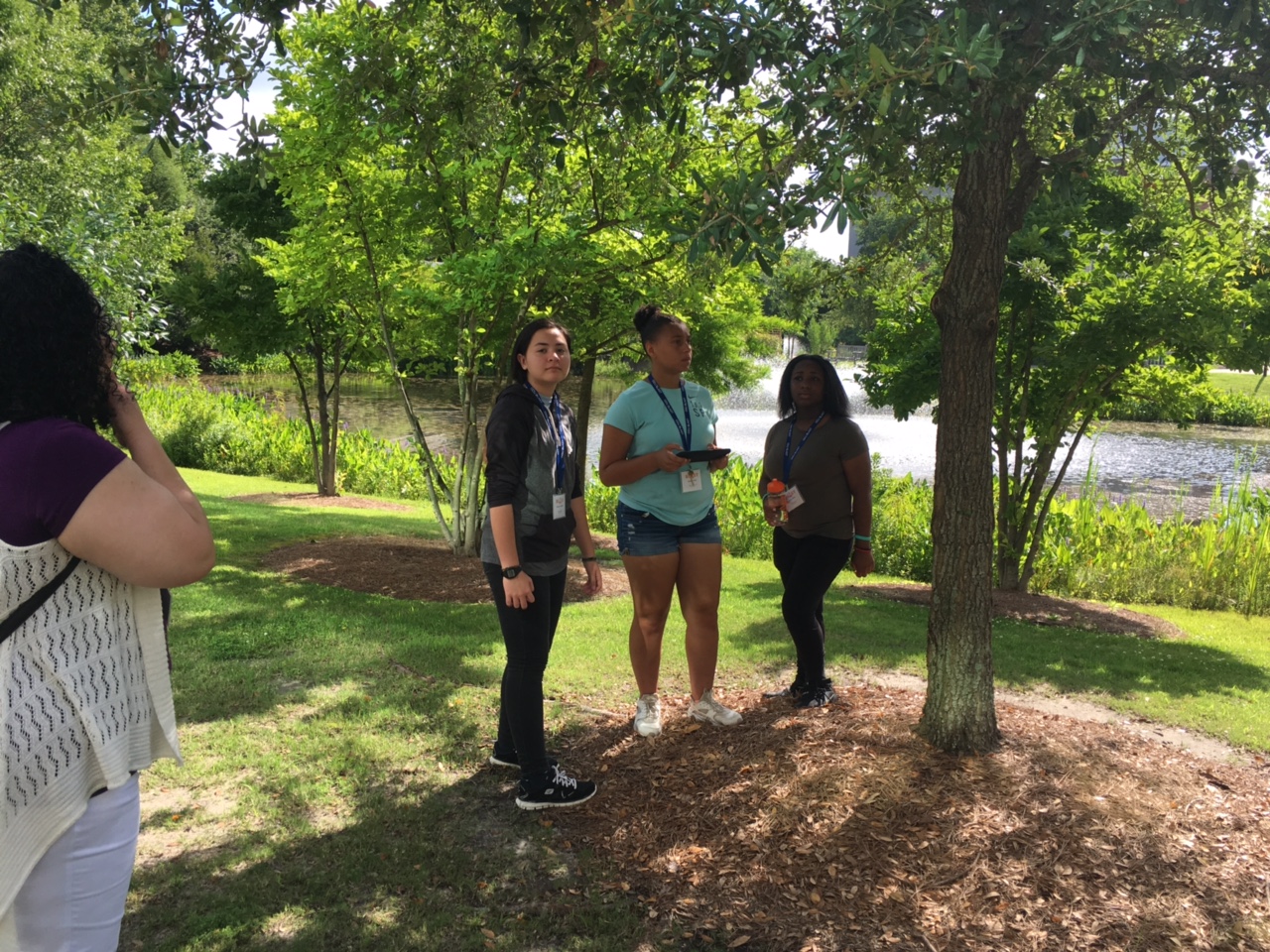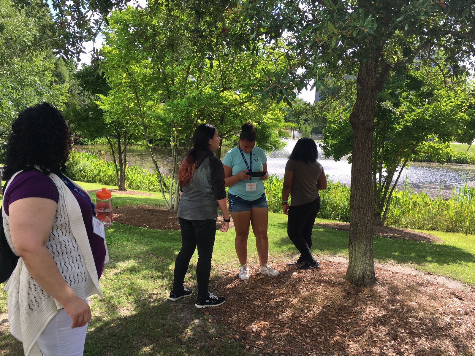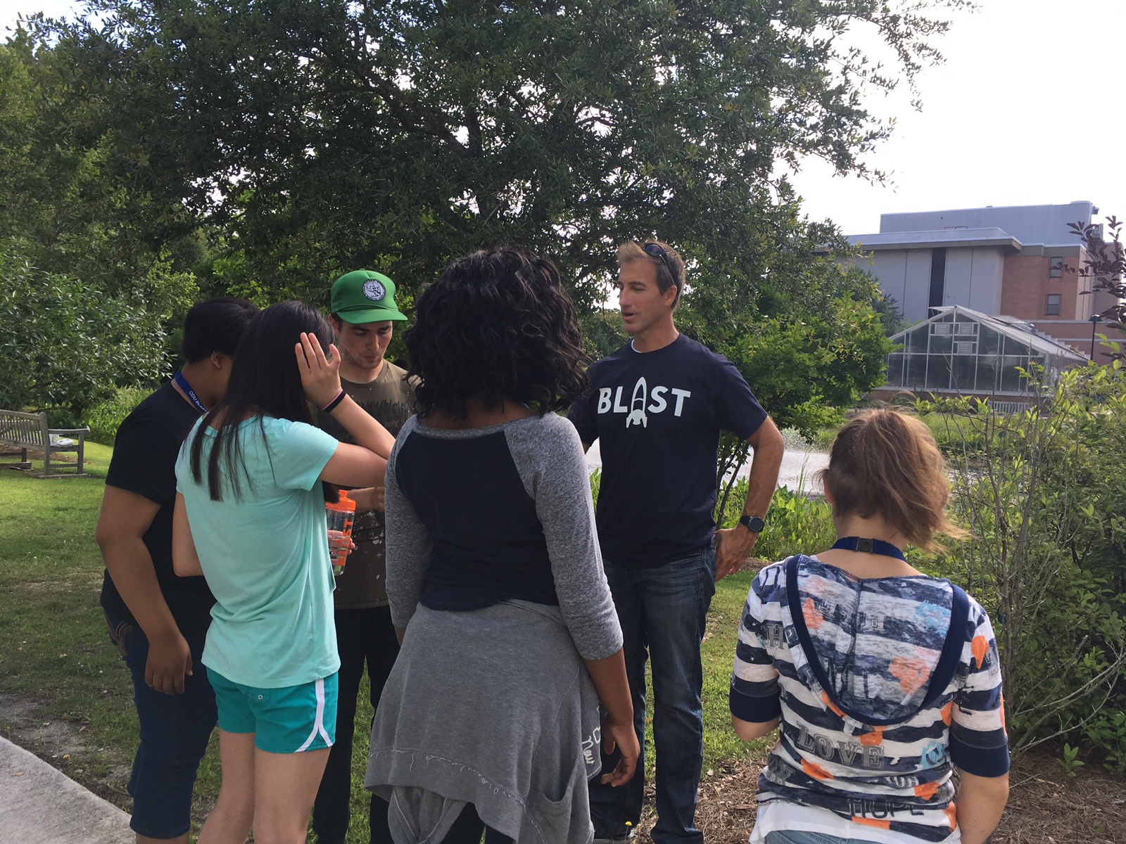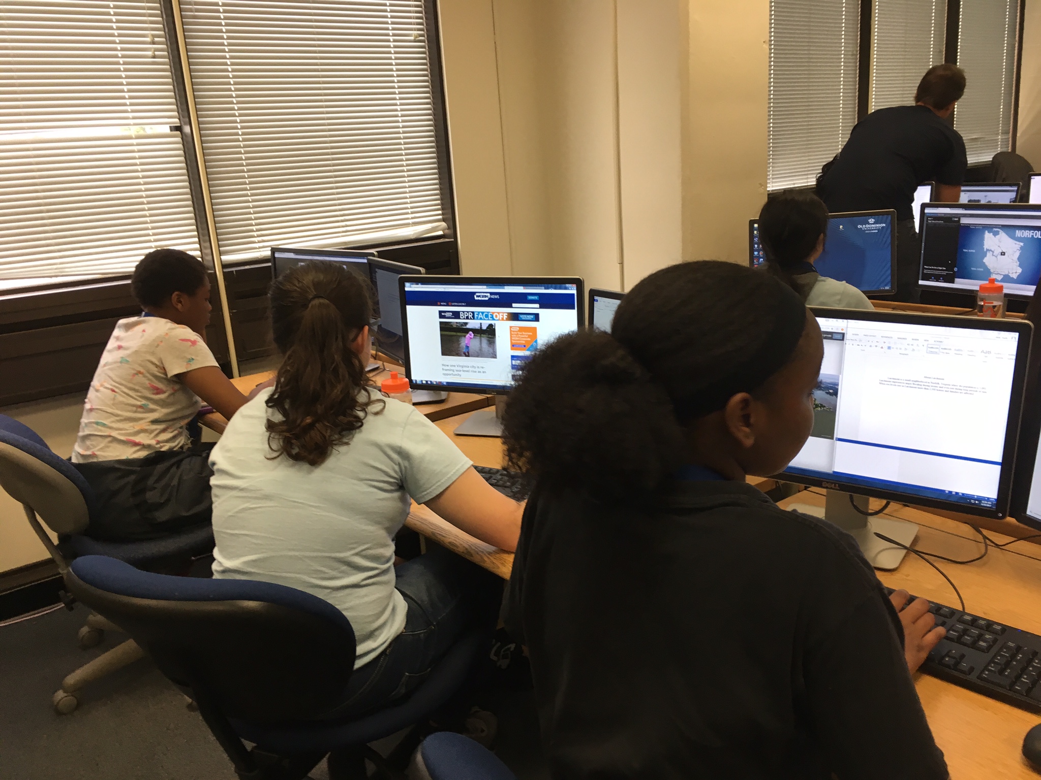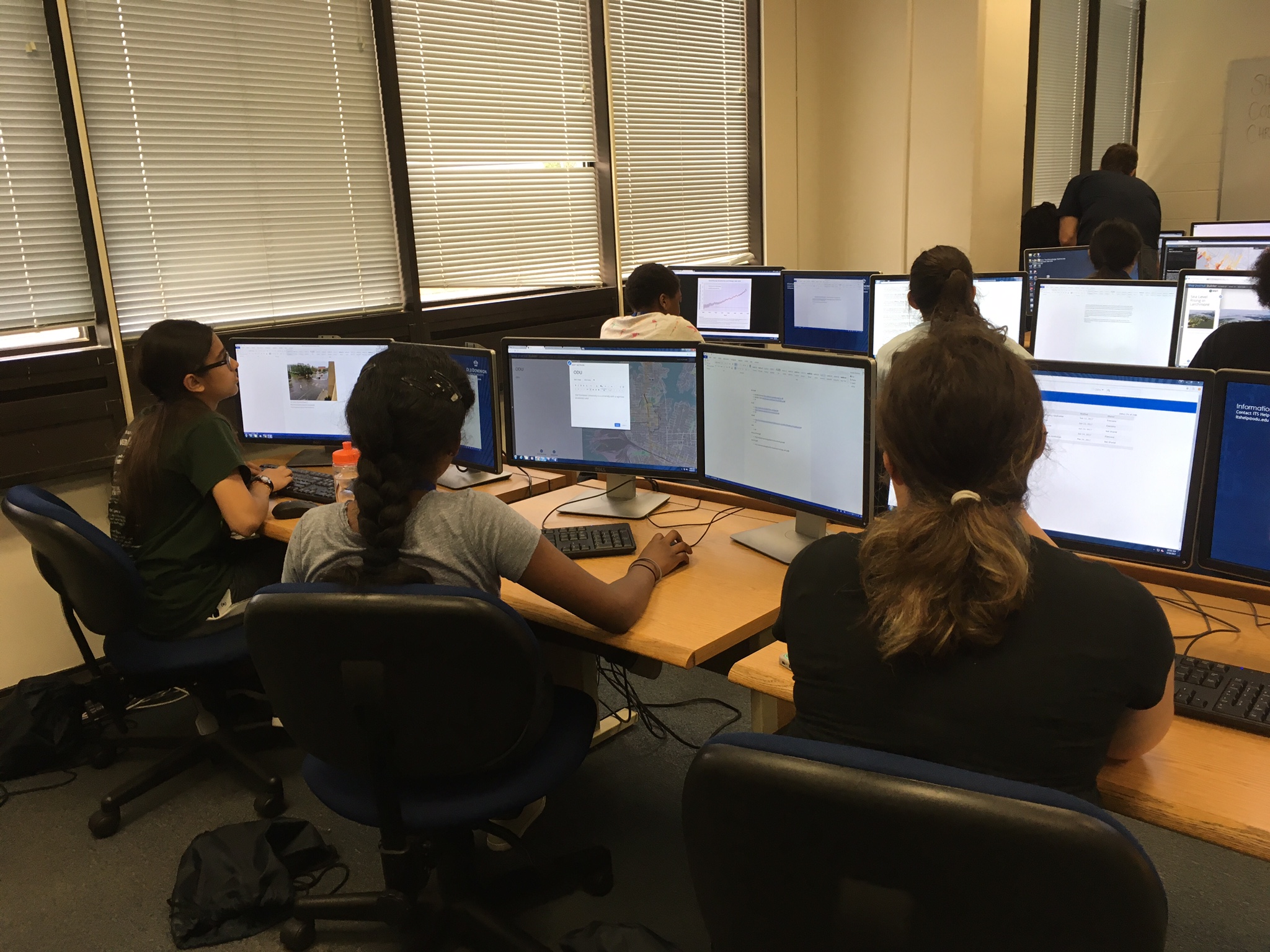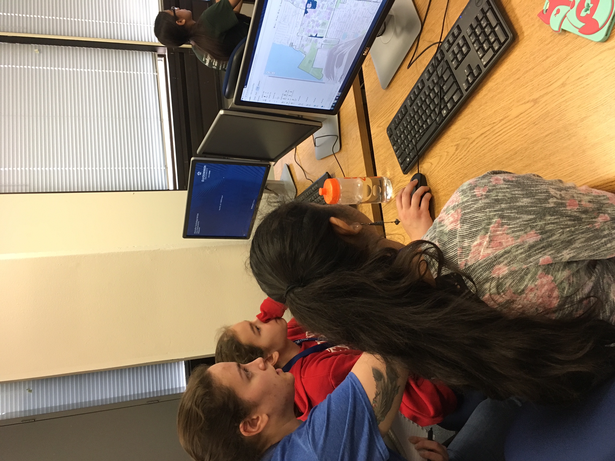
Satellites, Lasers, and Drones
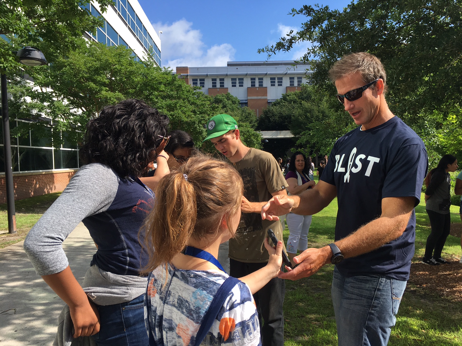
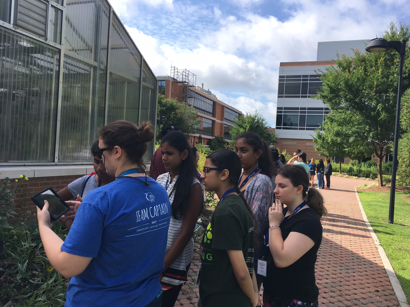
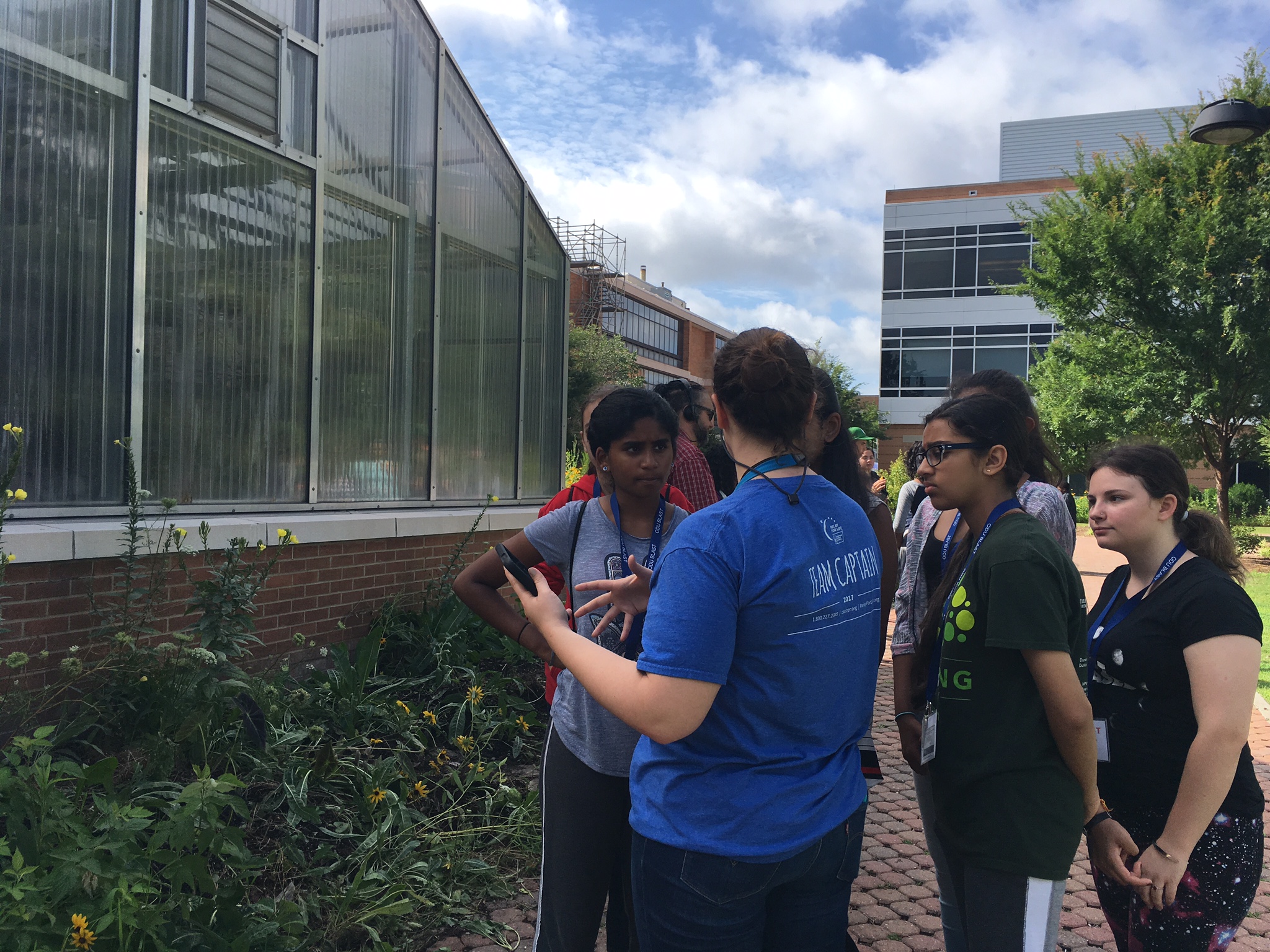
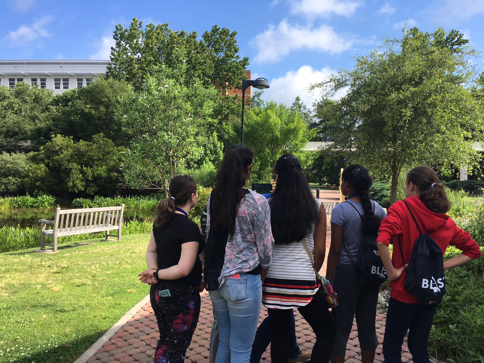
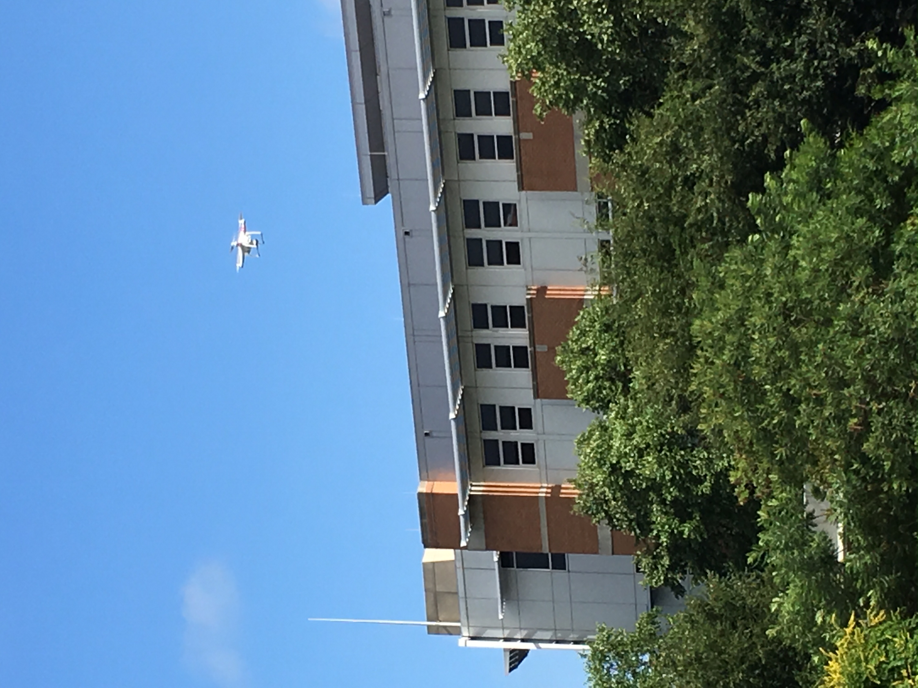
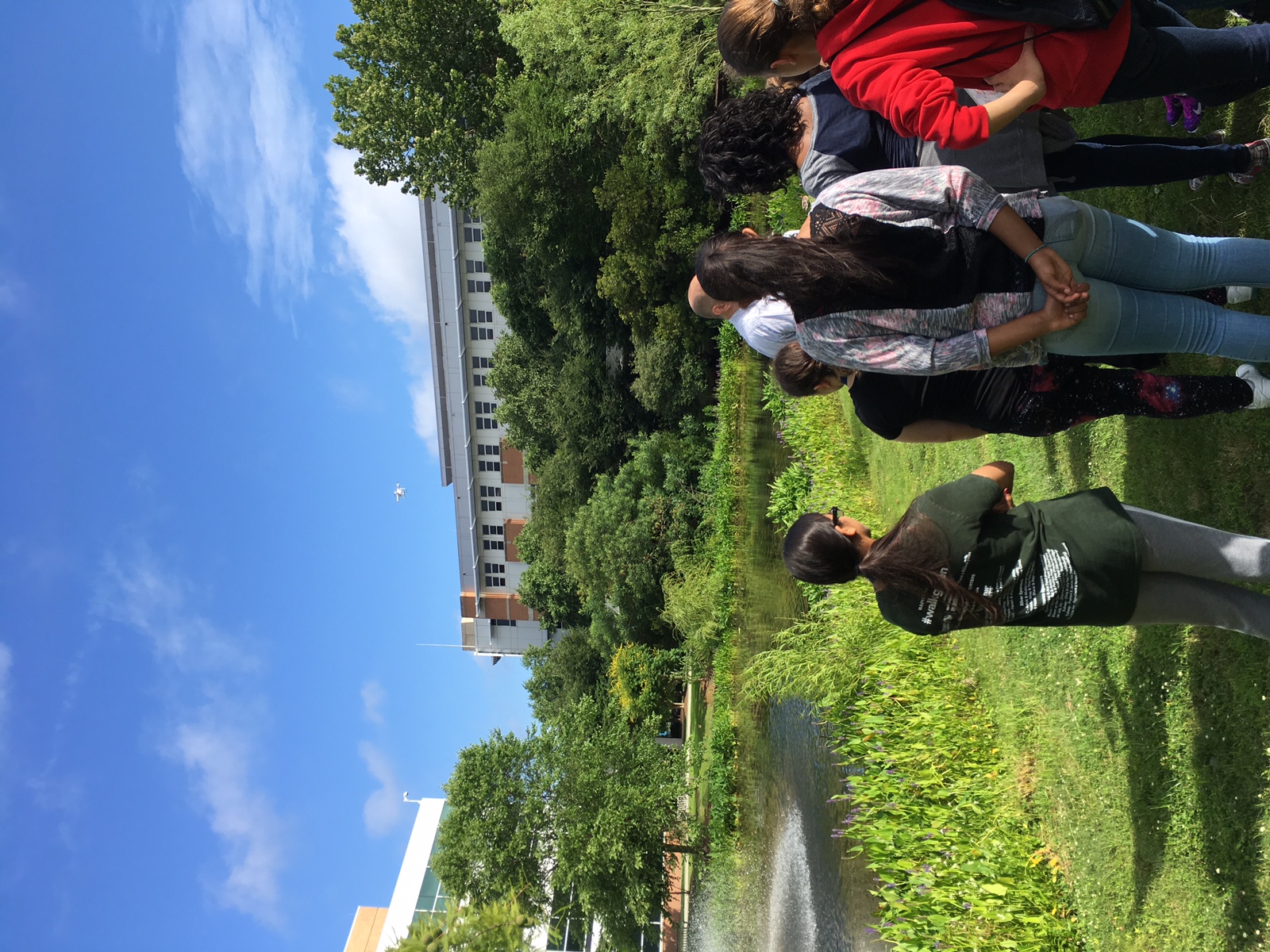
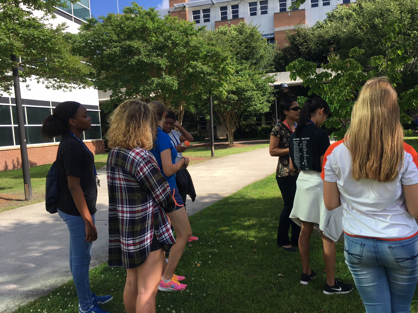
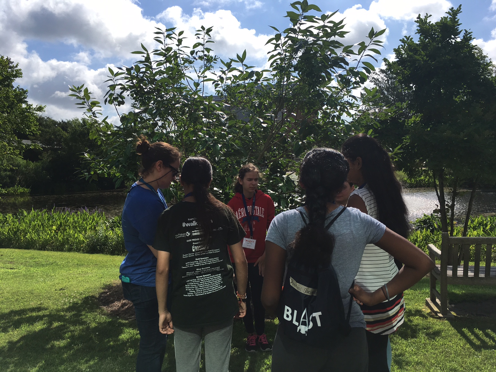
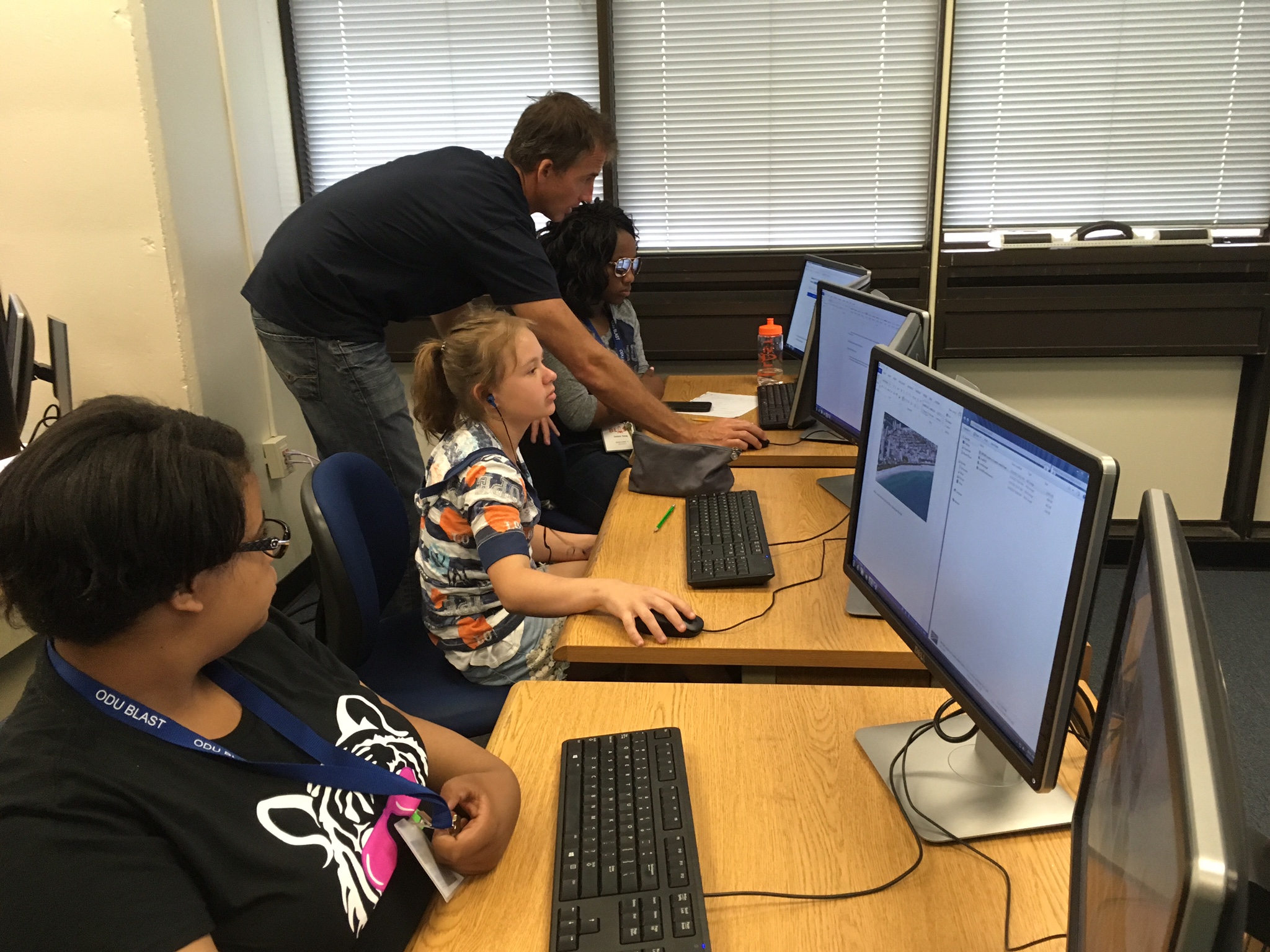
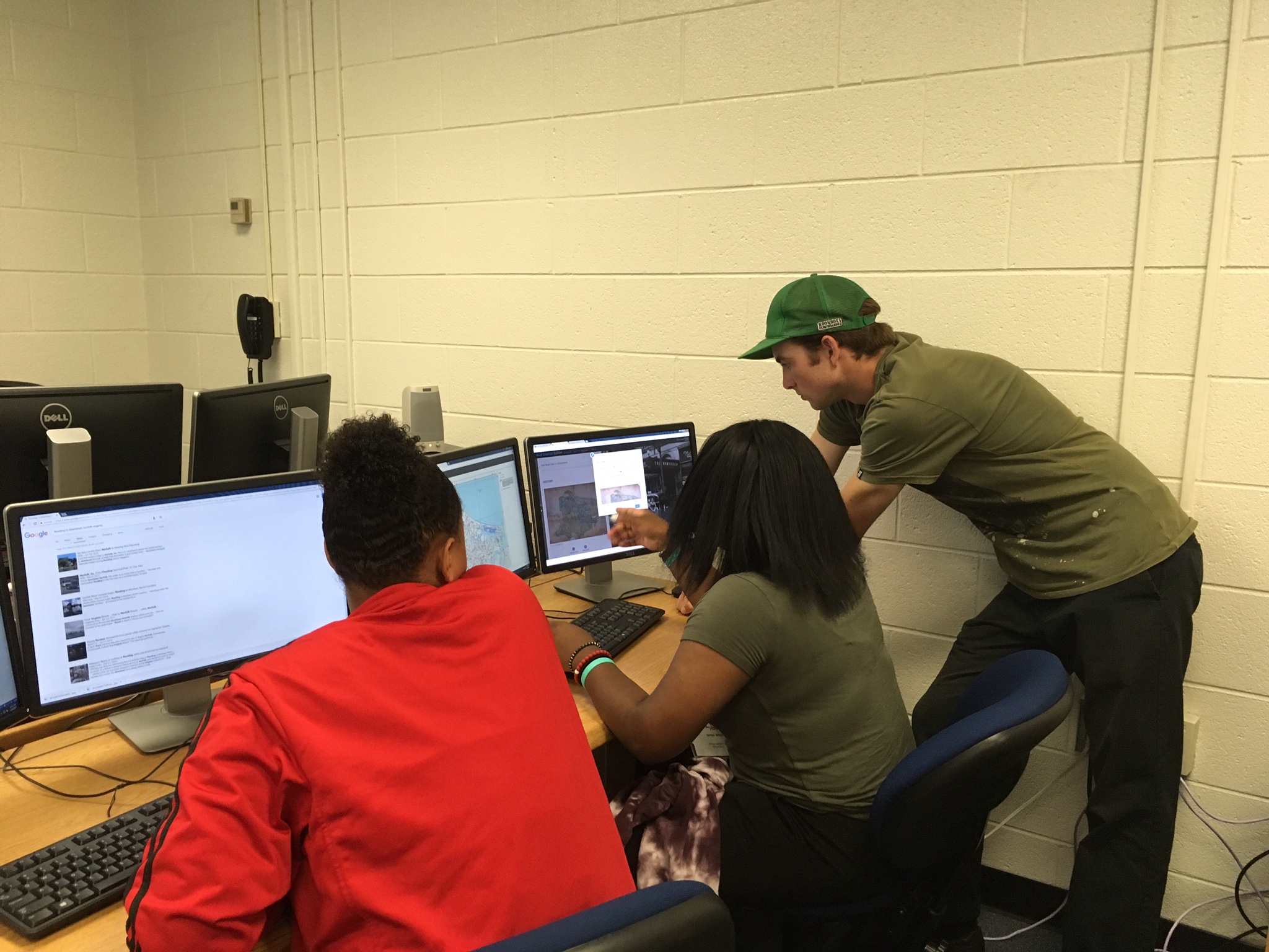
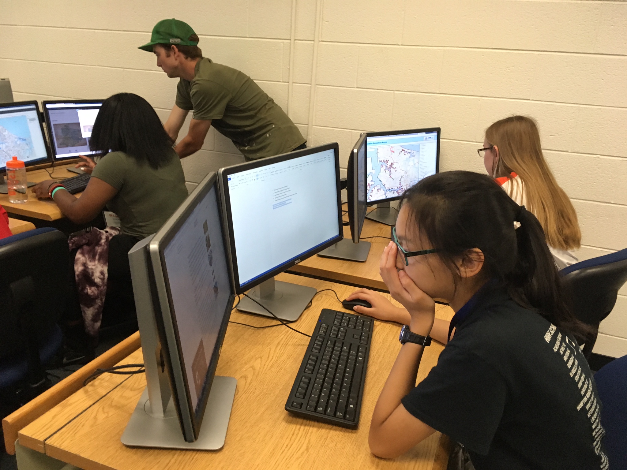
“Satellites Lasers, and Drones” Mr. George McLeod, Adjunct Professor, Political Science and Geography, Director, Geospatial and Visualization Systems, will have students measure, collect geospatial data, and observe the use of drones to gather data used in the creation of maps that identify areas of vulnerability and risk posed by flooding and sea level rise.