Skip to content

Maps R Us

Maps are more than location

  • GIS for K-12
  • GIS Workshops
    • Secondary Social Studies
    • Madeira School
    • Elementary Workshop, 2019
    • New Story Maps and More
    • Webinars
    • November 28, 2018 Workshop
    • October 24 Teacher Workshop
    • Norfolk Workshops
    • Independence MS
    • Fall 2017
    • Charlottesville GIS
    • Radford Workshop
    • Summer 2016 Workshop
  • Chesapeake Bay Institute
    • About Tangier Island
  • Geo-Inquiries by ESRI
    • American Literature
    • Elementary GeoInquiries
    • Environmental Science Geoinquiries
    • Earth Science Geoinquiries
    • Government GeoInquiries
    • Human Geography Geoinquiries
    • Mathematics
    • US History Geoinquiries
    • World History GeoInquiries
    • Organizational Accounts and More
  • Learn GIS
  • ESRI/VGA Map Competition
HomeMadeira School

Madeira School

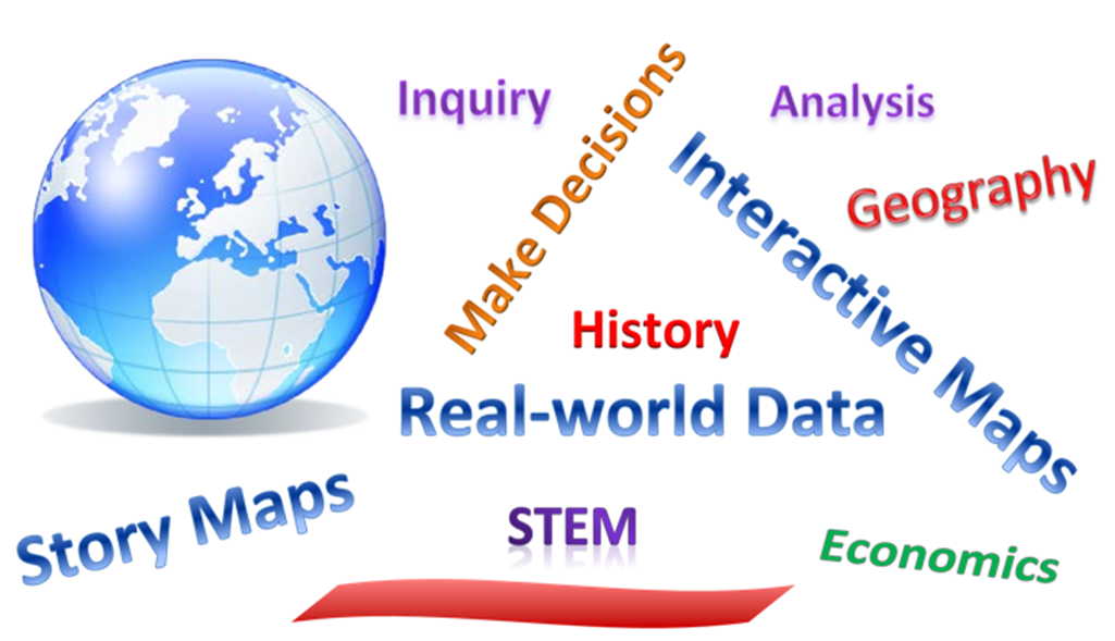
Online GIS is a great tool for exploring data, making decisions, and presenting information, all in a spatial context.

Handouts for this session

Overview for Madeira

School site

How to Annotate a map (complete directions)

How to use the new Story Map Builder

Be sure to download the images.

Proudly powered by WordPress | Theme: Big Brother by WordPress.com.
We use cookies to ensure that we give you the best experience on our website. If you continue to use this site we will assume that you are happy with it.Accept