Virginia Beach Flood Resilience Community Outreach
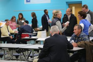
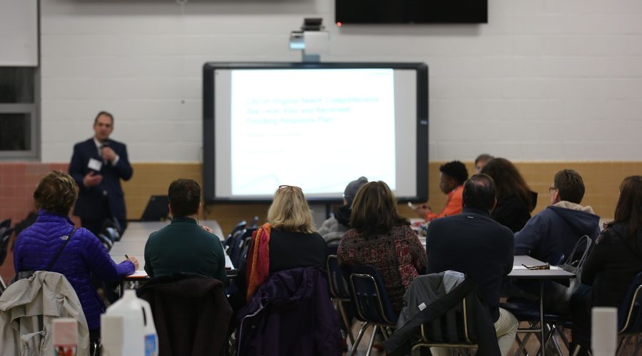
The ASERT framework was applied to public engagement meetings to solicit resident input into the City of Virginia Beach's Comprehensive Sea Level Rise and Recurring Flooding Analysis and Planning Study.
Introductory station gathered anonymous demographic information about participants and collected information about perceptions and preferences using a tablet (or paper survey).

Flood tolerance station collected perceptions about the feasibility of driving on flooded roadways or the comfort level with flooding on residential properties.

Adaptation actions station guided residents through possible approaches that the community or individual property owners might take to prevent flooding and then asked about their preferences for these different actions or approaches.

Mapping station included a Travel Disruption station with a large-format printed map of the City that allowed residents to note places where travel had been disrupted.

WeTable station featured an interactive electronic map that allowed residents to both pinpoint areas that had been challenged by flood or other related problems and note community assets that might be threatened.

Participants are given passports when they register for the event. They would receive stamps at each station that they visit.

Seven Flood Resilience Game Nights were conducted in December 2017 and January 2018 in public schools located in seven different sub watersheds of the City. One meeting was hosted on a Saturday afternoon in March at a Virginia Beach public library, taking the form of a Flood Resilience Fun Afternoon.
Community participation was also available in an online format (an online survey and web mapping portal) for Virginia Beach residents unable to attend the live Game Night events. Information about the online format was available to Virginia Beach residents on the city’s ‘Comprehensive Sea Level Rise’ website (update … posting removed) and was also shared with residents in a Letter to the Editor published in The Virginian-Pilot.
Selected flooding locations as identified on the Travel Disruption and Community Assets and Challenges stations

