
Quarantine Path
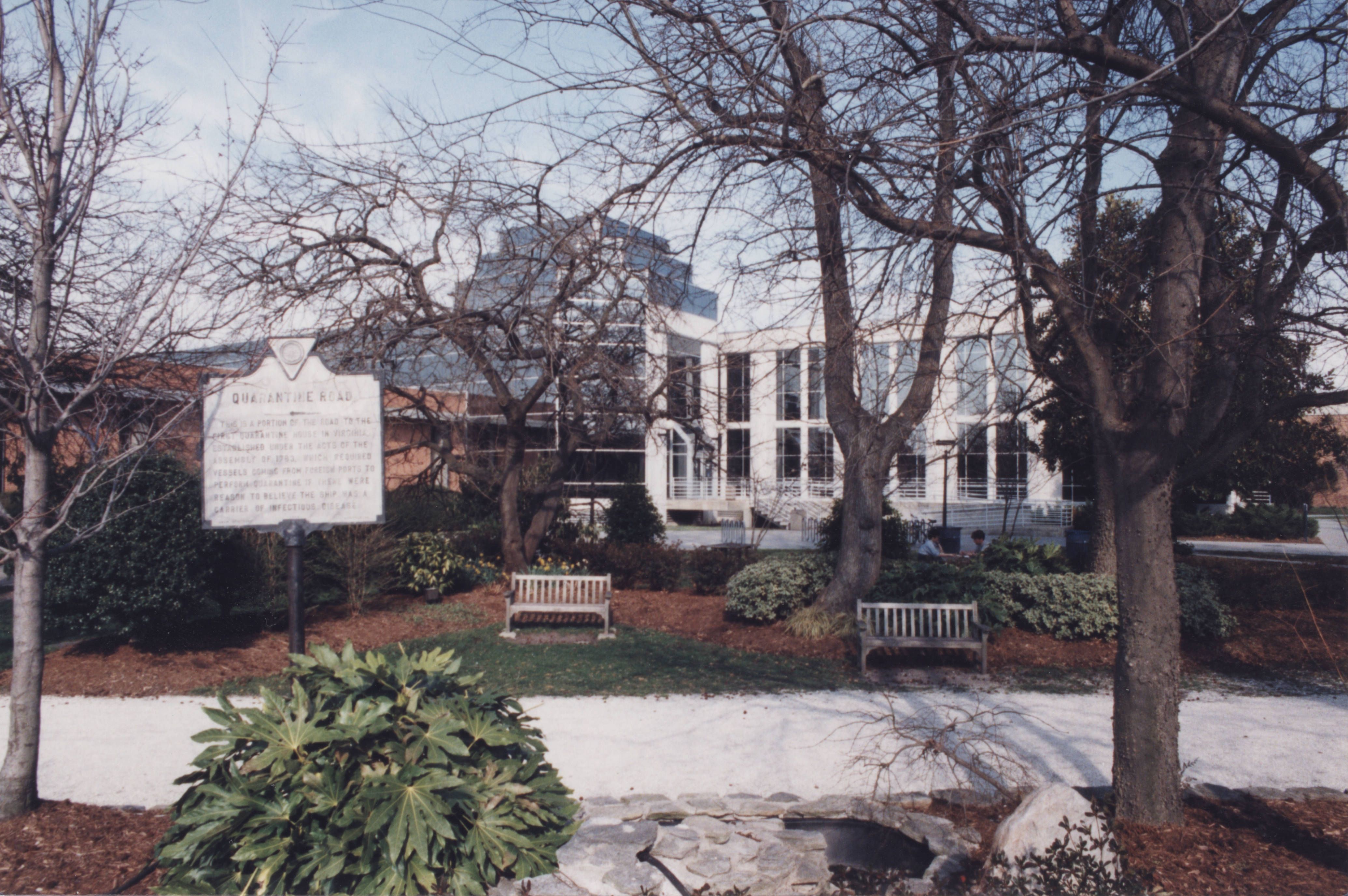
Quarantine Path, a part of Quarantine Road, cuts through the center of the Old Dominion University (ODU) campus in front of the Alfriend Building, passes behind Webb University Center, and extends into the Larchmont/Edgemont neighborhood. The path is lined with white sea shells that used to mark the path to the Quarantine house, the first of it’s kind in Virginia, located in Lambert’s Point.
Contents
History
Quarantine Path is one of the oldest roads in Norfolk still in existence. Constructed as a result of a public health law passed by the Virginia General Assembly in 1783, the road was used by foreign passengers and merchants to minimize the risk of spreading diseases, such as yellow fever. The path was heavily used during the yellow fever outbreak in Norfolk and Portsmouth in 1855. The road was used less frequently after the Union troops invaded Norfolk in 1862. With the development of Kaufman Mall and Webb University Center in the 1960s, the original path (Quarantine Road and Bowden Ferry’s Road) were altered. The historic marker was placed by the Norfolk Historical Society behind Webb University Center in February 1969.
Resources
- Old Dominion University Photographic and Multimedia Collection, Special Collections and University Archives, Perry Library, Old Dominion University, Norfolk, Virginia, 23529.
- ODU Photographic Collection, Old Dominion University Libraries Digital Collections, Old Dominion University Libraries.
- Building the University, Old Dominion University Libraries Digital Exhibit, 2005.
References
- Bookman, Steven and Jessica Ritchie. Old Dominion University: A Campus History Series. Arcadia Publishing. Charleston, South Carolina, 2017.
- Russell, Lia. “What’s In a Name: Quarantine Road, Norfolk.” The Virginian-Pilot, Norfolk, Va. 2009 August 10. Accessed 2019 June 10.
- “Public Health.” Lambert’s Point: A Historical Geography, 4 May 2019, lambertspoint.wordpress.com/public-health/. Accessed 2025 April 10